Surveying in the Spring Mountains, May 2021
/The daunting north wall of Potosi Canyon
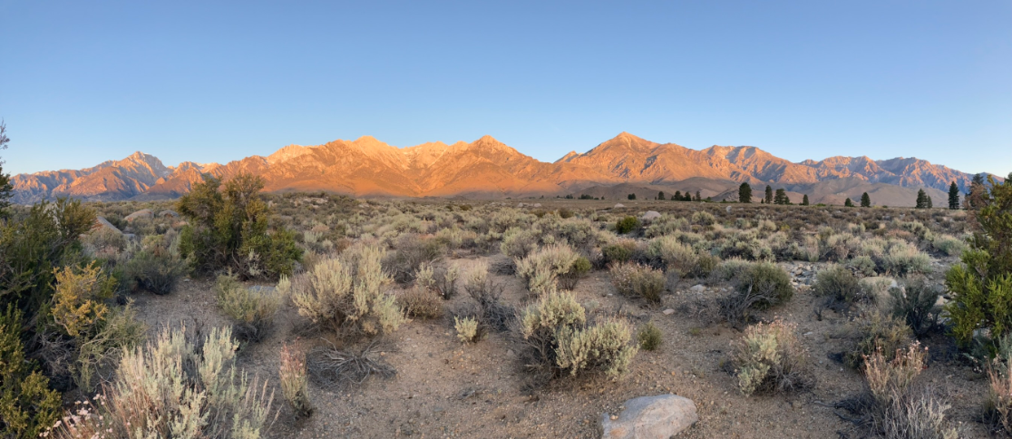
Well, tomorrow’s plot starts up there…I was thinking to myself as I gazed upward, enjoying the sunset on the cliffs of Potosi Mountain and it’s neighboring peaks. Part of the standard evening routine is determining what time I need to set the alarm for the morning, factoring in that I must climb a full 1,000 feet higher than my current elevation, in a half- mile, 30 minutes before sunrise. While the implications of this were setting in, I heard a Scott’s Oriole singing. It was a welcome reprieve from the unwelcome realization that it was not yet dark, and yet I will be waking up in 8 hours for a doozy of a hike. I poked my head around the corner to see the gorgeous male Scott’s Oriole perched atop a lonely Pinyon, and got to appreciate his beauty for a brief moment before he realized I was watching. It was truly a lovely, peaceful scene-not a soul in sight, shadows growing long as the sun’s amber glow bathes the cliffs, while the melody of my oriole carries across the valley.
Sunrise over Potosi Canyon, from the top of north wall
This survey is part of our IMBCR program on Forest Service and Bureau of Land Management lands, which I briefly discussed in my previous post about Grasshopper Sparrows. IMBCR stands for Integrated Monitoring in Bird Conservation Regions, and is a very neat project developed by Bird Conservancy of the Rockies in 2007. It connects a massive survey area, nearly the entire western United States, under a common protocol, and generates some very interesting and useful data. These surveys are point-count surveys with 16 points, arranged in a grid, each point 250 meters apart, so that a 1kmx1km grid is created. In order to be a valid survey, at least 6 points must be completed.
I have surveyed this plot before … have I mentioned it’s steep?! Every direction you look is a stunning mountain-scape of sheer cliffs and infinite vistas. On this particular plot it is only humanly possible to (safely) reach 6 survey points; dangerous cliffs and scree slopes prevent access to a majority of the plot. So, I have painted a picture of a very difficult location to traverse, but it is not without its rewards. A previous surveyor found Rufous-crowned Sparrows two years in a row up there, even confirming breeding once! I missed them the first time, but was hopeful for this second time. I should have known that if I lugged my camera up there, they would smell me coming and make themselves scarce. You can likely gather I did not detect any Rufous-crowns on this survey either. Gray Vireos, Black-chinned Sparrows, Scott’s Orioles, and White-throated Swifts would have to suffice—poor me, I know, it’s a tough job, but some one’s got to do it!
Cliffs, cliffs, and more cliffs!
Once safely down the mountain, it was just a little jaunt back to camp. Once there, it was time to decompress and pack up camp. But, first things first, after a hike like that I needed ice cold refreshment. Fortunately for me, modern technology has created miraculously insulated vessels that hold ice for days. It was only 9:00 (I had been up since 4:00, after all) yet the sun was still warming the air to a point just beyond comfort. With no shade in sight, and the patch created by my truck rapidly dwindling, it was time to finish up, pack up, and get on out of here. Another adventure awaits, as I get out the maps and begin navigating to tomorrow’s survey!
- Ned


